
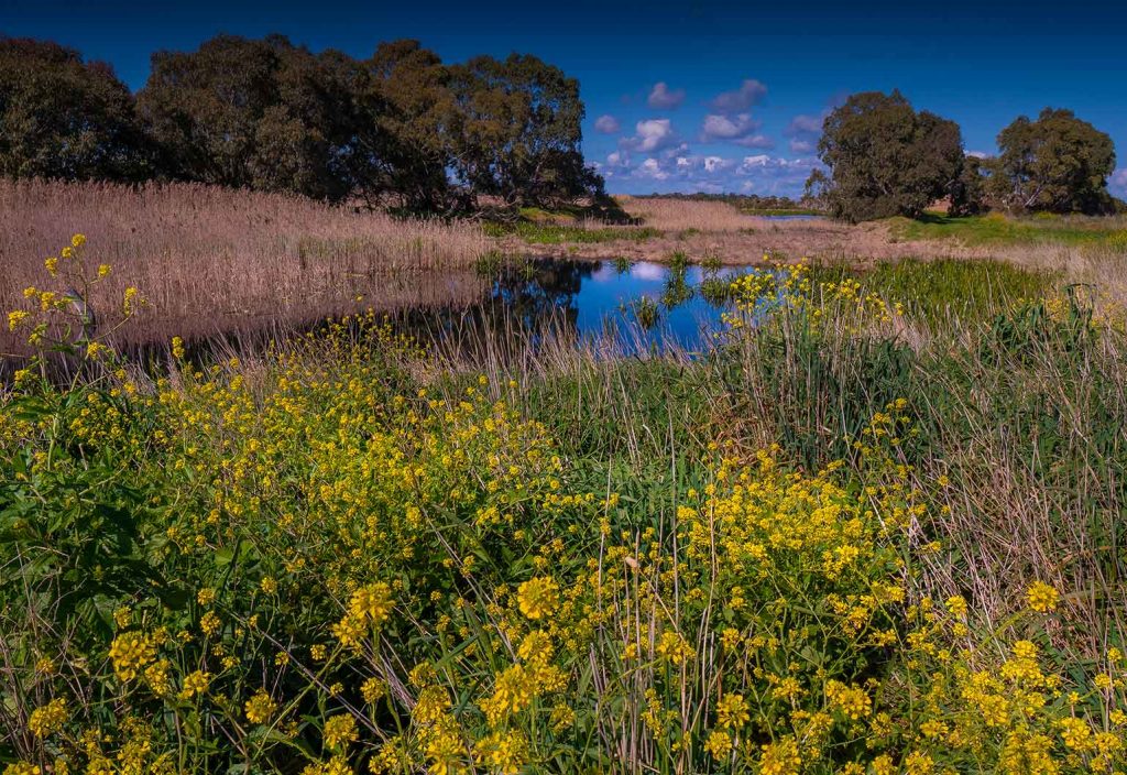
Wetlands are the world’s most threatened ecosystems, disappearing some three times faster than forests. A tool from Melbourne Water aims to preserve these important habitats, joining a growing number of AI-based environmental engineering projects from around the world.
Over the past 50 years, 35 per cent of the world’s wetlands have evaporated. Human activities that lead to the loss of wetlands include drainage and infilling for agriculture and construction, pollution, overfishing and overexploitation of resources, invasive species and climate change.
According to the United Nations Environment Programme, wetlands are the “unsung heroes of the climate crisis” as they store more carbon than any other ecosystem. This makes it all the more critical that action is taken to preserve them.
Enter Melbourne Water’s Wetlands Analytics Visualisation Environment (WAVE) tool. Recently featured on the BOSS Most Innovative Companies list by the Australian Financial Review, WAVE analyses aerial photography to provide an instant report on the health and growth of wetland vegetation.
Previously, the utility relied on physical inspections to monitor wetlands and ensure that a diverse range of healthy vegetation was established. Thanks to artificial intelligence, it is now possible to accurately count and report on the plants from day one, and monitor the growth and density of vegetation over time.
Riding the wave
Melbourne Water’s tool joins a number of other projects from environmental engineers around the globe who are using AI to preserve endangered natural habitats.
In the United States, researchers at the Ecosystem Risk and Resiliency program at the Electric Power Research Institute (EPRI) have designed a deep learning program to assist with wetland identification.
Data-based identification has long been fraught with issues such as out-of-date maps and data, and is time and resource intensive. As with Melbourne Water, American scientists previously conducted field visits to many of these endangered areas — something made difficult due to the pandemic.
EPRI collaborated with the Chesapeake Conservatory to design a new process with better accuracy for mapping wetlands using AI and a deep learning model called U-Net. Along with satellite photo imagery and light detection and ranging (LIDAR) remote sensing, it improves the accuracy and quality of wetland information.
“The method uses high-resolution, free and publicly available data inputs with an open-source U-Net design to make this approach scalable,” explained Susan Minnemeyer, Vice President of Technology at Chesapeake Conservancy.
Initial results show the model works particularly well in areas that are often challenging to map accurately with photo imaging alone. For example, areas where forest canopies conceal wetlands or streams were accurately identified by the AI model.
The engineers behind the software believe that future iterations could provide insight and understanding into the characteristics of identified wetland sites.

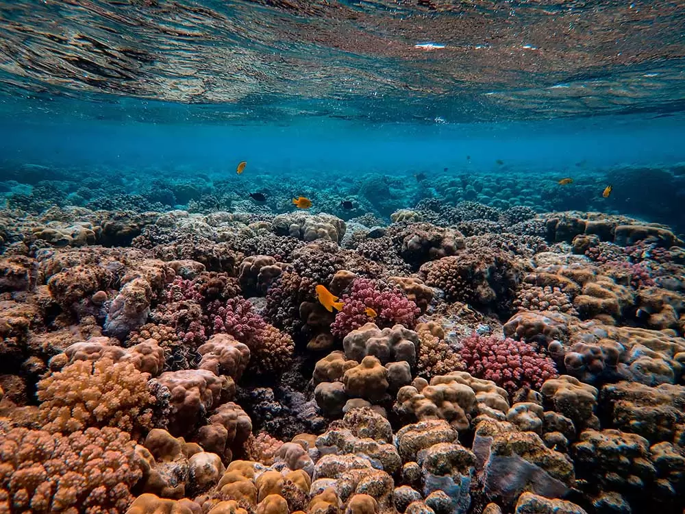
Monitoring coral reef health
Beyond wetlands, AI is being used for other critical habitat-saving missions. On the other side of the Pacific Ocean, French Polynesian group Coral Gardeners has developed an AI platform to monitor the health of coral reefs off the coast of Tahiti.
Seeking to understand the health of the ecosystems in real time by tracking and monitoring coral reef data, Coral Gardeners enlisted US software engineer Drew Gray to help build the platform. He developed software that compiles data from underwater cameras and sensor networks to monitor fish populations, species biodiversity, coral growth and water temperature.
“Our technology is providing an in-depth look at the biodiversity of the reef ecosystem at a level of detail that’s impossible for a human to accomplish,” Gray said. “It’s like having a marine scientist watching the reef at every second of the day.
“By measuring the reef health during and after our restoration efforts, we can quantify what impact we had on the ecosystem and use this feedback to improve our methods.”