
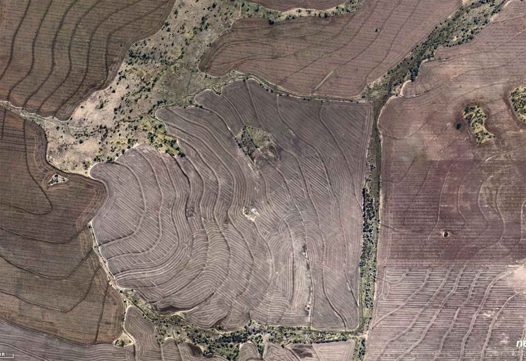


As urban communities grow and adapt to rainfall patterns altered by climate change, engineers are using high-resolution orthographic and oblique aerial imagery to help them plan, prioritise, and scale their work.
Engineering plans often need to consider water, including runoff analysis, hazard prevention, or managing its supply. This is becoming more complicated due to the increasing complexity of urban environments, increased expectations on engineering timelines, and – last but not least – climate change.
Indeed, climate models suggest significant global increases in heavy precipitation by year 2100 and more frequent hazardous weather events, which engineers have to account for in their designs.
High-resolution orthographic and oblique aerial imagery, supported by artificial intelligence (AI) capabilities can help with this. No matter how large or distant the project site is, engineers can use it to perform remote assessments of any detail and prioritise areas of focus based on urgency of remediation and impact of issue, which helps speed up the request for proposal (RFP) process and streamlines hydrology and hydraulic workflows.
Using geospatial technologies to streamline workflows sounds simple, but it can have outsized effects for engineering firms. For example, it enables better informed assumptions at the planning stage, reduced site visits (as more information can be accessed remotely) and better communication between teams (as they’re working from a single source of truth). This results in considerable cost savings and allows engineers to devote more time to less repetitive, more rewarding tasks.
Aerial imagery and location analytics company Nearmap is a leader in the field of geospatial technologies and helps organisations understand how the technology can assist them with their projects. It will be hosting a webinar with Engineers Australia that explores why refining hydrology and hydraulic workflows has become essential when considering the future of water system design.
Speaking ahead of the webinar, Alexander Ma, a certified civil engineer in the state of California and Product Marketing Manager for Utilities with Nearmap, unpacks the technology and how Nearmap makes engineers’ lives easier.
Nearmap location intelligence integrates easily into geographic information system (GIS) tech stacks, allowing engineers to more simply assess the state of vegetation on project sites and identify infrastructure, water channels, and analyse flood risk. The company also offers Digital Terrain Model (DTM) data that details bare earth elevation, which helps engineers better understand site runoff and water flows.
Speaking about the RFP process, Ma believes that engineers can use this kind of data to treat each project as a story and help stakeholders understand their proposals.
“As engineers, we are tasked with coming up with optimised solutions for challenges. When we interact with all the stakeholders involved in a project, we’re really telling them a story – what the problem is, what the constraints are, and what our solution is,” says Ma.
“There’s no better way to get that ‘story’ across than with a map. The visual element is one of the first things people reach for when reading an engineering report.”
To best convey the narrative, detail and accuracy are important. Nearmap offers a comprehensive combination of frequently-updated, high-resolution images along with a suite of location intelligence tools, such as post-catastrophe imagery, 3D, and AI data layers.

In addition to bare earth elevation, Nearmap offers Digital Surface Models (DSM) as part of its 3D program. It depicts height elevations of features such as trees, buildings and other “toppings”.
Building onto Nearmap’s rich toolsets, the company’s AI program is able to extract further location details relating to stormwater, including building footprints, building and roof characteristics, ground surfaces, and vegetation heights. (A complete breakdown of all Nearmap AI offerings can be found here.)
Taken together, this data provides engineers a full picture and detailed story of the environmental constraints to help them find a suitable solution.
With flood modelling being a key part of how stormwater collection, retention, and drainage systems are planned, it’s also worth noting that Nearmap offers improved model accuracy via regularly updated DTM / DSM data.
Combine all this extensive and accurate information, and you have technology that allows engineers to appropriately plan for the future while saving valuable time and effort.
Climate change is an ever-present challenge for designs, but it’s hardly the only consideration when it comes to future-proofing. For projects that have to anticipate water consumption in urban areas, engineers have to plan for growth and how it affects existing systems.
In the US, stormwater hydromodification regulations are put in place to minimise the duration, levels, and frequency of erosive flows that would affect everything downstream of the project.
Here in Australia, the 2006 guide to Water Sensitive Urban Design from the Australian Runoff Quality Authorship Team outlines an objective to preserve the natural hydrological regime of catchments. This requires a thorough understanding of the potential impact a design will have on nearby or connected sites.
Another consideration is emergencies and hazards. Aside from creating designs that help manage and alleviate weather extremes, Australian Nearmap post-catastrophe data can also assist with sites that have already experienced an extreme event like bushfires, cyclones, monsoons, tropical storms, hail, earthquakes, and flooding. The North American Nearmap post catastrophe data can assist with areas affected by wildfires, hurricanes, and tornados.
In Australia and North America, the company recently launched a full post-catastrophe imagery capture program called ImpactResponse that supports communities and businesses following natural disasters. These images help enable rapid responses and remote damage assessment. They’ve also meant insurance claims could be processed faster, and have informed future hazard prevention planning.
Nearmap hi-resolution aerial imagery, 3D data and AI capabilities provide efficient ways to design and plan for changes to rainfall, whether for one-off events or long-term pattern change. Its 3D data also has the advantage of being wide scale and refreshed frequently, often multiple times per year.
“Nearmap’s data allows our customers to leverage rich content and location intelligence so that workflows are as streamlined and efficient as possible when it comes to site analysis, design, and planning for how runoff will behave across impervious surfaces and vegetation,” says Ma.
“If you’re not using remote sensing data to help plan drainage, runoff or other aspects relating to hydrology and hydraulics, then I would highly suggest keeping an open mind about reconsidering your organisation’s workflow. Our high-resolution imagery, AI tools and topographical information save an incredible amount of time, and enable engineers to focus more on meaningful engineering tasks, rather than manual, repetitive tasks.”