
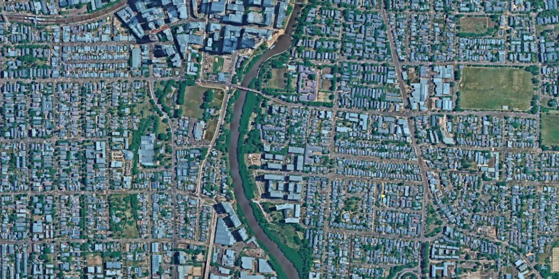
With the aid of Nearmap solutions, engineers are using spatial digital twins to make precise and data-backed decisions at scale.
Over the next decade, Sioux Falls, already the most populous city in South Dakota with nearly 200,000 people, is preparing for a 25 per cent population growth.
“Sioux Falls, like many other cities, has been challenged to accommodate this influx so that the growth is sustainable and smart,” says Lauri Sohl, Civic Analytics Manager at City of Sioux Falls, Division of Civic Analytics in a recent talk delivered at the Environmental Systems Research Institute User Conference.
Sohl and her team are using up-to-date Nearmap imagery as a 3D base map inside their digital twin to assist with the city’s planning and future growth.
Integrating 3D mesh has enabled engineers to easily view underground city utility data in Sioux Falls such as sewer, water and traffic features, and to visualise the location, shape and use of different spaces.
“It’s fantastic to see how companies are bringing in Nearmap imagery and then layering other data sets over the top, merging them together so they can interact with the space,” says Sam Mason, Solutions Engineering Manager at Nearmap.
“3D is what humans respond to. It helps to give you a really rich picture and broad context when using a digital twin.”
Large-scale planning
Digital twins enable engineers to aggregate different data sources, and capture measurements such as the foot traffic in a neighbourhood, how often car parks get used or the amount of green space, says Mason.
This data gives engineers a level of insight that has, up until recently, been much more difficult to obtain.
“Previously, if a council wanted to measure the climate in an area, they’d put temperature monitors right across the city and send people around by foot to look at them,” says Mason.
Digital twins, however, enable a more efficient, robust and data-driven approach that can help engineers to spot patterns or anomalies.
Nearmap Artificial Intelligence – which can recognise objects to derive deeper insights of an area in seconds, from roof characteristics to tree cover – can enhance the experience when using a digital twin. It is possible to include 3D mesh at the bottom as a base layer, but when combined with AI, the 3D world becomes more interactive.
Using a combination of current Nearmap imagery and Nearmap AI data, Mason has created a prototype digital twin of Penrith Council.
“It allows a user to see temperature differences right across the area,” says Mason. “Using our AI content, the roofs in the Penrith digital twin are colour-coded based on the material. This data interplays with the urban heat environments and allows us to draw insights and engage in scientific analysis.
“Our AI layers are really useful because they allow a user to click on individual objects, see them up close and pull up metadata. It gives you an incredibly interactive experience.”
Hold and drag the white bar below to see a digital twin (right) created from an aerial photo.

Sustainable planning
There’s significant potential for digital twins to help companies further their sustainability efforts.
“It currently takes about a year to get an ESG rating for a commercial building. It’s really time-intensive and a massive undertaking,” says Mason.
“Digital twins can quickly pinpoint areas that engineers should dig into further. They could, for example, highlight warmer areas on the map, which will tell an engineer they should look into that area and consider how it’s contributing to a building’s ESG rating.”
With an increasing number of regulations that require companies to meet certain sustainability targets, it’s likely that more companies will need access to this type of data.
“If a company has made commitments to certain sustainability indexes, they’ll want to know from the engineers that the sensors and lighting they’ve put in are as efficient as possible. This kind of information is going to be invaluable.”
Want to find out about additional benefits of spatial digital twins? Read more about Nearmap geospatial content.


Hi, I’m a prof at Western Sydney U researching environmental science in the Cumberland Plain. I’d be interested in learning more about what vegetation, soil and geology layers you have embedded already in the Penrith digital twin. We have an incoming PhD student with a background in computer science who might be interested in some collaborative research with you folks. Cheers – Elise